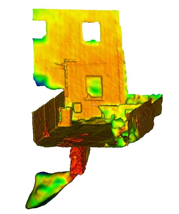
Some of the most significant ground risks arise from geological hazards that are difficult to identify using traditional methods alone.
UAV-based LiDAR and photogrammetry can help identify surface expressions associated with anomalous ground conditions. These may include:
- Chalk Dissolution Features – Subtle depressions or ground movement patterns may indicate underlying dissolution features or voids.
- Cambered Ground – In areas of sloping terrain, UAV surveys can identify indicators of valley bulging and cambering that may affect slope stability and foundation design.
- Subsidence – Ground deformation associated with mining, groundwater abstraction, buried structures or natural geological processes can often be detected through high-resolution terrain analysis.
- Buried Voids – Although UAVs do not directly detect underground voids, they can identify surface indicators that may suggest their presence and guide targeted intrusive investigations.
- Former Mine Workings – Surface settlement features linked to historic mining activity can often be mapped more effectively using LiDAR-derived terrain models.
By combining UAV survey results with geotechnical investigations, geophysical surveys and historical records, a more complete understanding of geohazard risks can be achieved. Together these observations help refine ground models and improve investigation targeting.